
arrow_backBack
Type of route
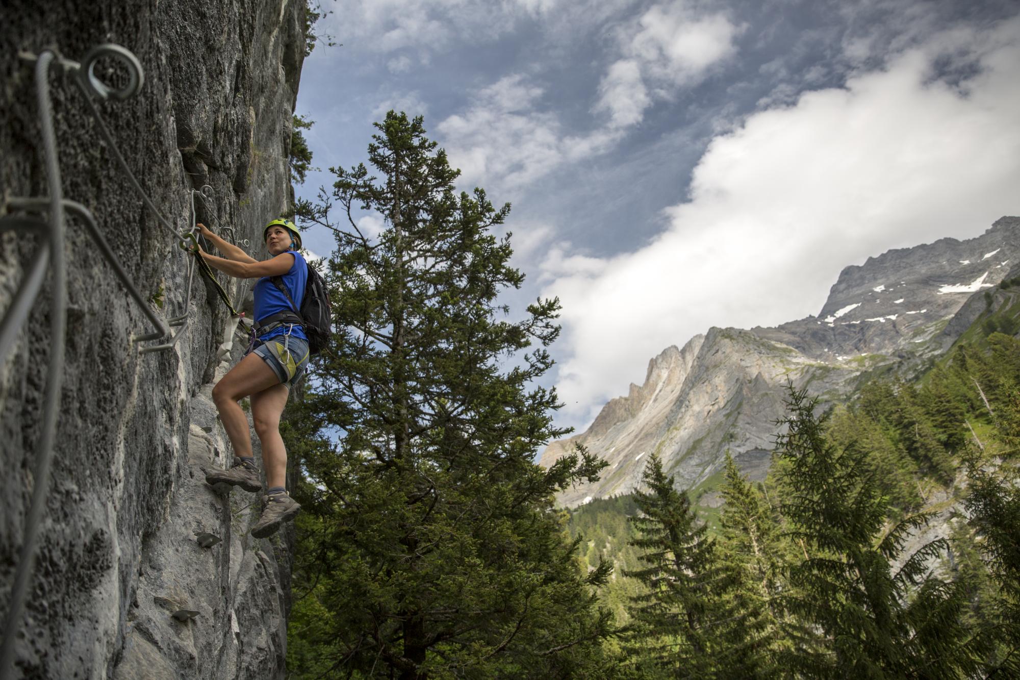
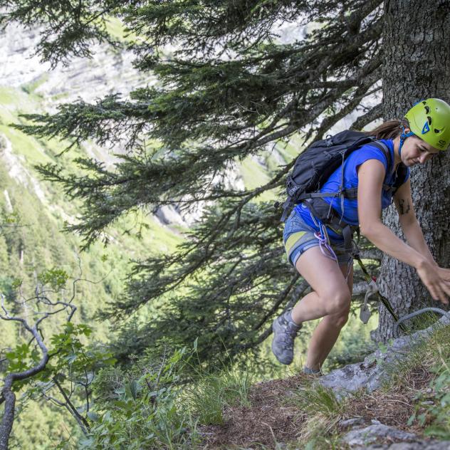
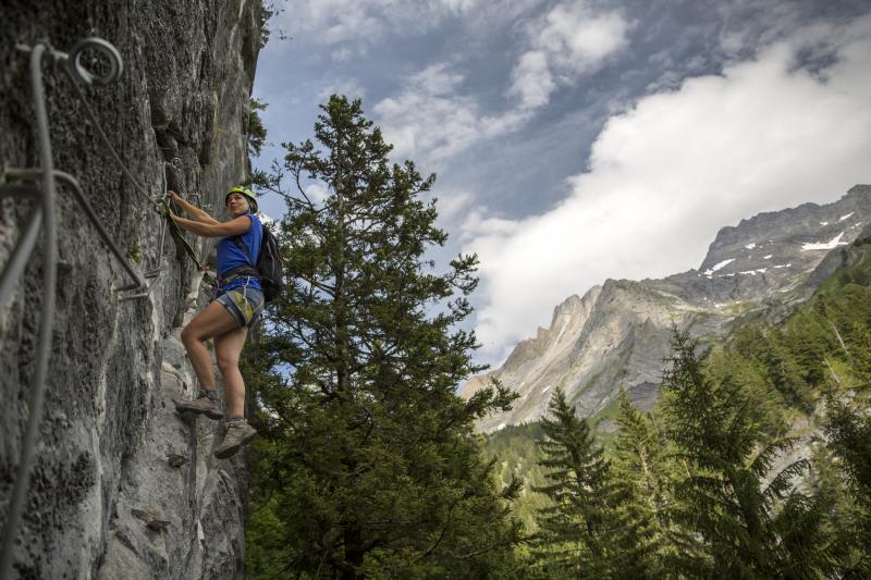
Lavanchy via ferrata
landscape Easy
route 4.03 kilometers
schedule 30 min
trending_up 388 metres
trending_down 387 metres
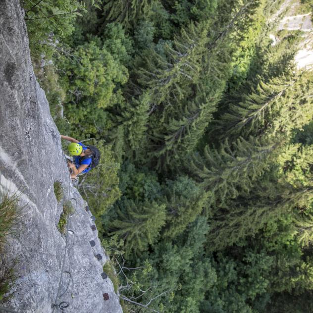
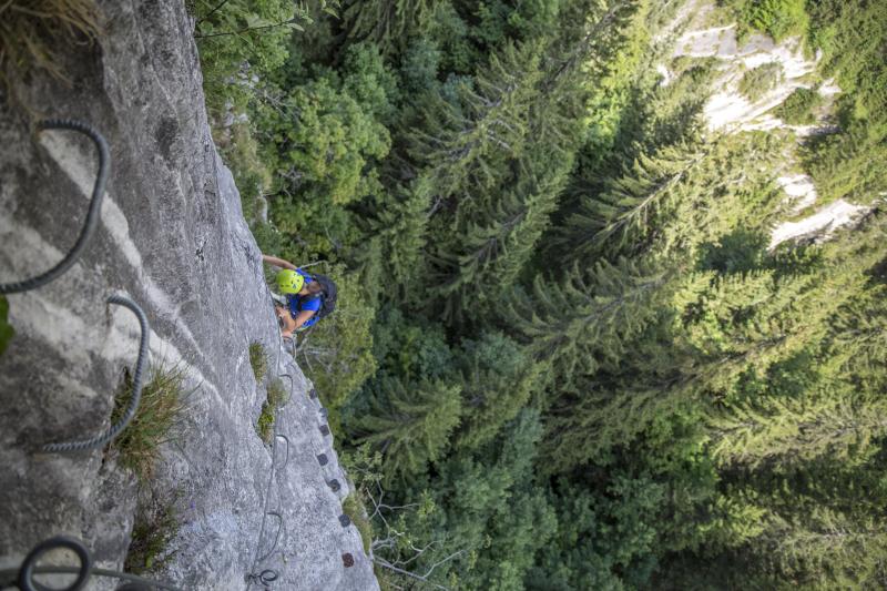
The Lavanchy Via Ferrata is 25 minutes from Pont de Nant above Bex at the foot of the Vaud Alps. It’s a very short but intense and athletic via ferrata. Since it’s well hidden in the forest, make sure you find out exactly where it is before you set off.
Difficulty
nearbynearbynearbynearbynearby
Best season
sunny
Summer
Highest point
arrow_upward1582 metres
Lowest point
arrow_downward1243 metres
Route Information
Start - Lavanchy via ferrata

Arrival - Lavanchy via ferrata
Description
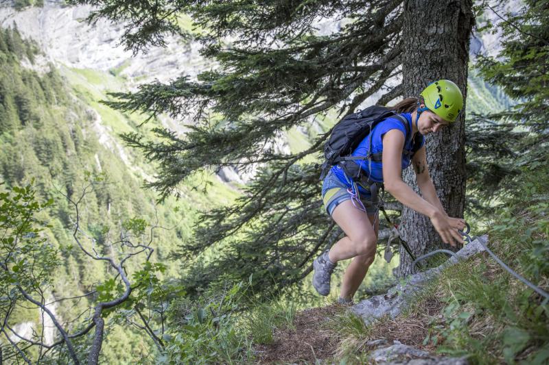
When you get to Pont-de-Nant, take the surfaced road (not open to traffic) to Le Richard for about 2 kilometres then a little track on the left and then directly right after the tree growing on a rock. You can also take your GPS or a recent topographical map (scale 25,000).
The Via Ferrata...
Practical information
OPENING
The via ferrata is regularly monitored by a mountain guide (usually in early May).
For further information, please contact the Bex Tourist Office.
ACCESS
By car : via Les Plans-sur-Bex, parking in Plans-sur-Bex or Pont-de-Nant.
By bus : from Bex train station, PostBus towards Les Plans-sur-Bex (timetables on cff.ch), 30 minutes walk to reach Pont de Nant
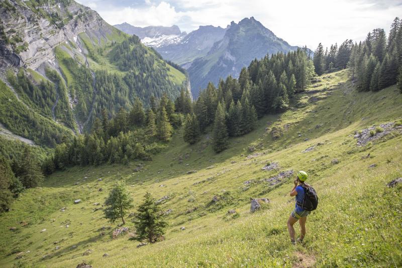
Approach : 25 minutes walk from Pont de Nant
TECHNICAL DATA
South-east facing
Difficulty: short, ideal for families
Starting altitude: 1574 metres
Length: 200 m
GPS coordinates 46.15.473 0.07.309
EQUIPMENT RENTAL
- Jacky Sport in les Diablerets
- Holiday Sport in les Diablerets
- Centre Paradventure in les Diablerets
- McBoard in Villars
Lavanchy via ferrata Pictures
Useful information and contact
Getting to Bex
Car parks and transport
Brochures and maps
Practical information
- location_on
Office du Tourisme de Bex
Avenue de la Gare 68
1880 Bex
- phone_in_talk
+41 24 463 30 80
- mail
info@bex-tourisme.ch

Facebook

Instagram

