
Sport, education and the good life in the heart of the Alpes Vaudoises
-°C
thermostat-°C | -°C
air- km/h
rainy- mm
-/-
Open lifts
Treat yourself to exceptional moments
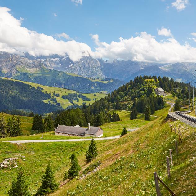
A breathtaking Alpine panorama. A unique atmosphere combining nature, sports facilities and renowned international schools. All nestled on a natural plateau at an altitude of 1,300 metres. Villars-sur-Ollon is the place to make your holiday memories.
- 1805 m.at Bretaye railway station
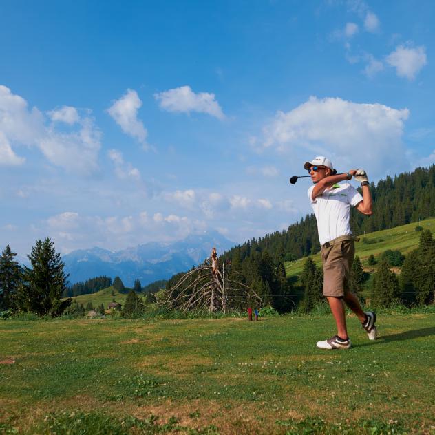
- 18 holesat the Villars Golf Club
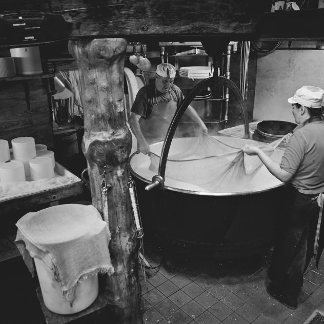
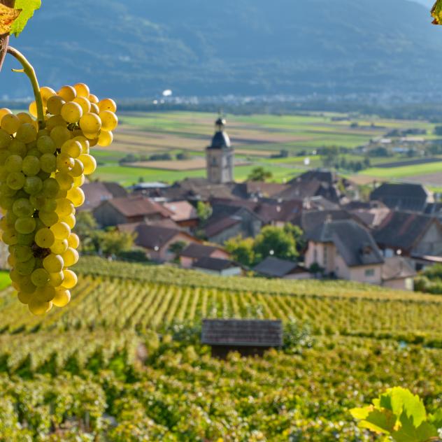
- 11winegrowers in Ollon
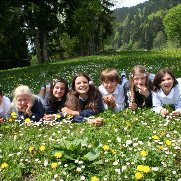
- 1000+ studentsat international schools
- 300+ instructorsin ski schools

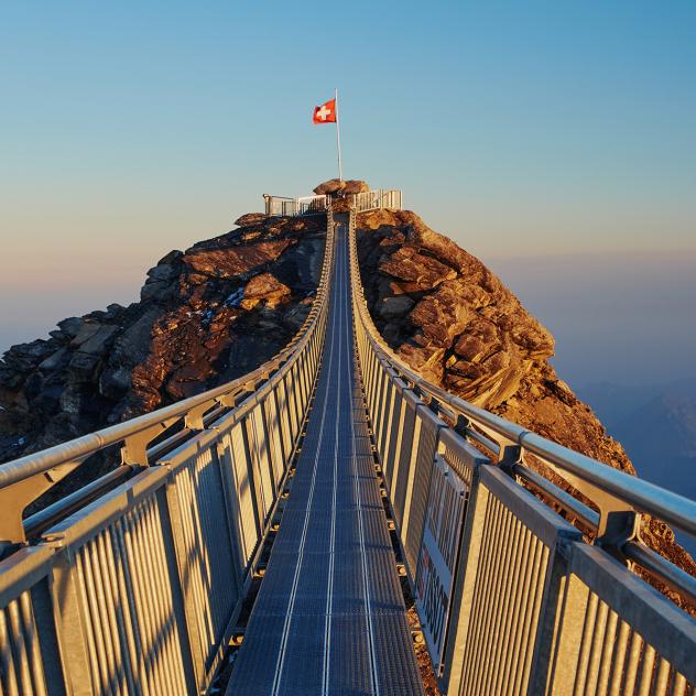
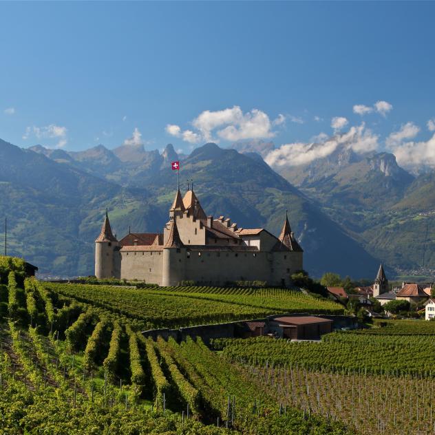
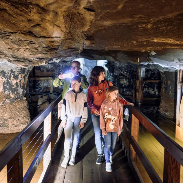
The must-sees
Coming soon in Villars
More about Villars
Villars
diversity_4FamilyTravel diary
What to do in Villars during the autumn holidays?
Villars in autumn: family activities and ideas for outings
Read article arrow_forward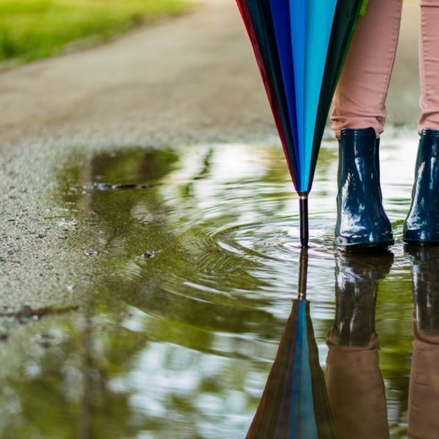
landscapeAdventureTravel diary
7 Things to Do in Villars When the Weather Turns Bad
What to do when the weather is bad?
Read article arrow_forward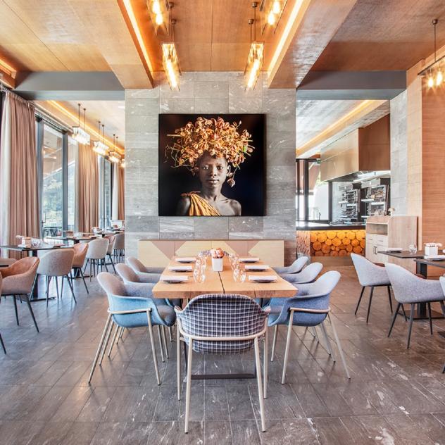
restaurantTastyNews
Gault & Millau 2026: Villars and Ollon Shine in the Swiss Rankings
Villars and Ollon stand out in Gault & Millau 2025: recognition for the gastronomy of the Alpes Vaudoises.
Read article arrow_forward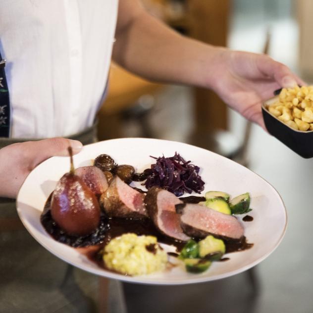
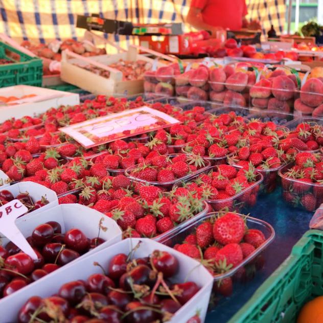
restaurantTastyTravel diary
Where to eat game in Villars: our top picks
Restaurants & autumn specialities in Villars
Read article arrow_forward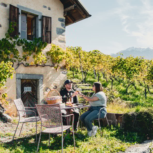
wine_barWinegrowingExperiences to enjoy
A gourmet stroll through the vineyards of Pierre & Michel Anex in Ollon
A gourmet stroll through the vineyards of Pierre & Michel Anex in Ollon
Read article arrow_forwardExplore Ollon and Villars
The Villars-sur-Ollon resort is located on a natural plateau at an altitude of 1,300 metres, facing south. For over 150 years, Villars has offered its guests a wide variety of sporting and leisure activities. This welcoming village has numerous restaurants, hotels and bars, as well as a lively shopping street and a railway station. Villars offers a cosmopolitan atmosphere that is popular with all age groups, as several international public schools have been based here for decades.
Villars: The Call of the Peaks – Escape to Nature on a Grand Scale!
Picture yourself on a sun-drenched balcony at 1,250 metres above sea level, gazing out at a breathtaking panorama: the proud silhouette of the Dents du Midi, the Grand Muveran, and the majestic Mont Blanc rising in the distance. Welcome to Villars, a destination in the heart of the Alpes Vaudoises where adventure and awe-inspiring views meet – summer and winter alike – like nowhere else.
A Vibrant Village, Where Tradition Meets Modernity
Villars-sur-Ollon is far more than just a mountain resort. It’s a lively and cosmopolitan village where authentic Alpine charm blends seamlessly with cultural diversity. Here, international schools sit alongside traditional chalets, creating a warm and truly unique atmosphere.
Easily Accessible – Your Gateway to the Alps
Just a few hours’ drive from the major cities of the Lake Geneva region and Geneva Airport, Villars is an easy escape into the mountains. Whether you come by train, bus or car, your adventure begins the moment you arrive.
Tailor-Made Stays in the Heart of Nature
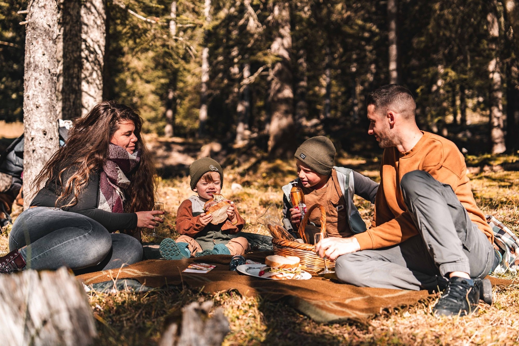
From cosy mountain chalets to historic hotels, Villars offers a wide range of accommodation to suit every taste. And above all, it’s surrounded by generous natural landscapes perfect for every kind of activity – hiking, skiing, mountain biking, or simply relaxing. Follow your instincts and create unforgettable memories in Villars!
Villars
Getting to Villars
On-site parking and transport
Brochures and maps
- location_on
Office du Tourisme de Villars
Avenue Centrale 140 CP 100
1884 Villars-sur-Ollon
- phone_in_talk
+41 24 495 32 32
- mail
info@villars.ch

Facebook

Instagram

