
arrow_backBack
Type of route
Over in Isenau
landscape Medium
route 21 kilometers
schedule 05:00 h
trending_up 1637 metres
trending_down 1637 metres
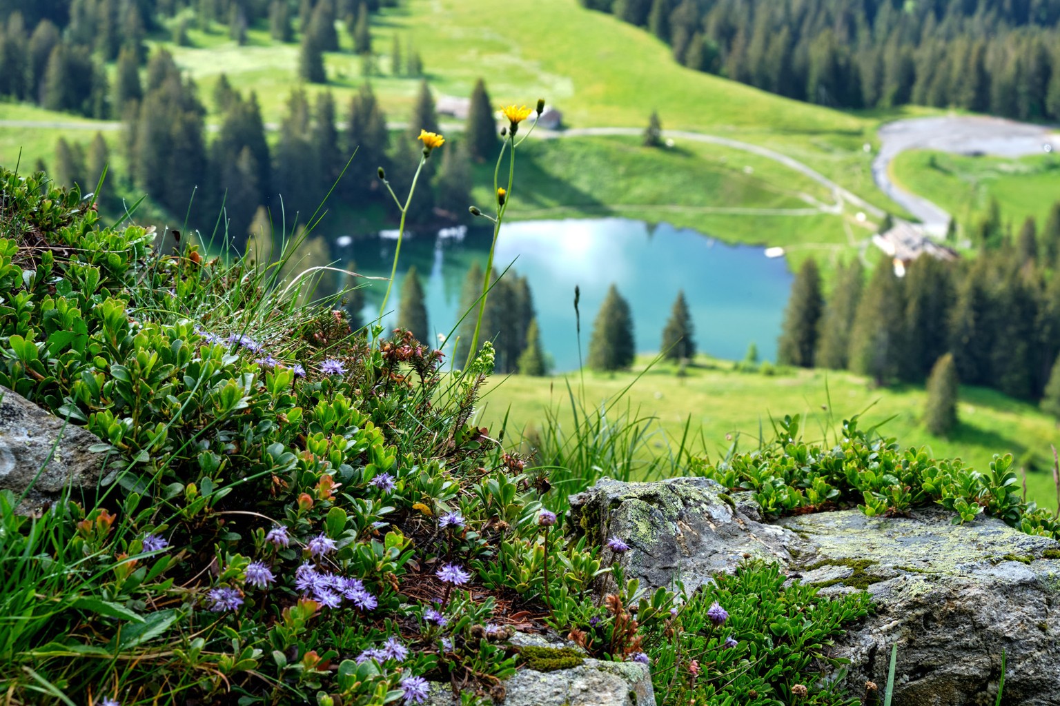
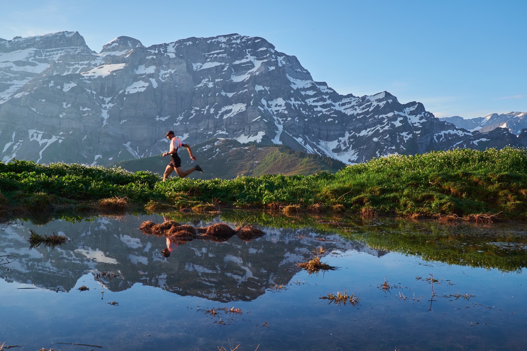
With its mountain lake, technical trails, undulating sections and alpine views, this challenging 21-kilometre route offers a chance to immerse yourself in the heart of an unspoilt natural environment.
Difficulty
nearbynearbynearby
Best season
sunny
Summer
Highest point
arrow_upward2161 metres
Lowest point
arrow_downward1160 metres
Route Information
Description
Starting from the Les Diablerets Tourist Office, the route first follows the river towards Droutzay, then crosses the Aigue Noire footbridge before crossing the River Dar. It then climbs towards Le Mont and Le Lécherré, through the woodland. Up to the Col du Pillon, the path alternates between as...
Practical information
Les Diablerets
Getting to Les Diablerets
On-site parking and transport
Brochures and maps
- location_on
Office du Tourisme des Diablerets
Chemin du Collège 2
1865 Les Diablerets
- phone_in_talk
+41 24 492 00 10
- mail
[email protected]

Facebook

Instagram