
arrow_backBack
On foot
Via Alpina : stage n°17
location_on
Gstaad
landscape Difficult
route 15.93 kilometers
schedule 06:20 h
trending_up 1199 metres
trending_down 1104 metres
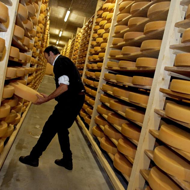
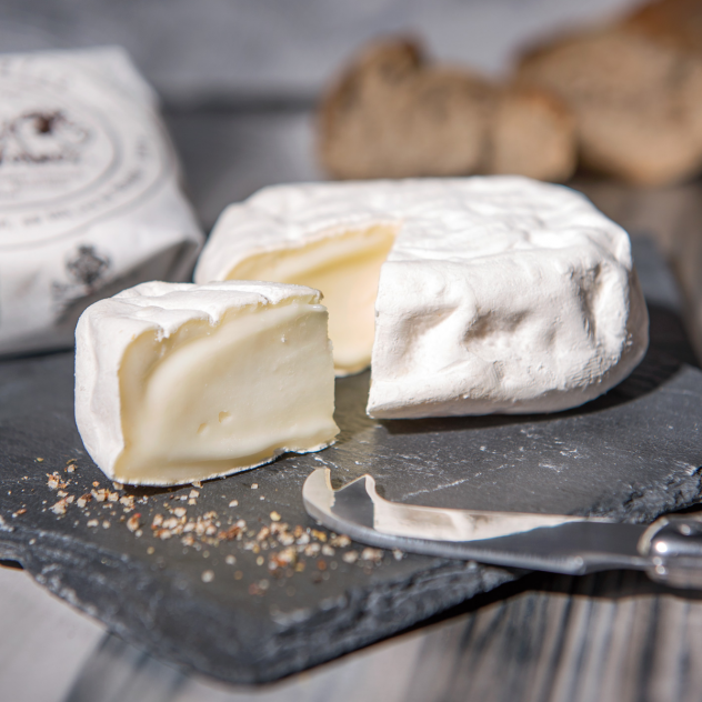
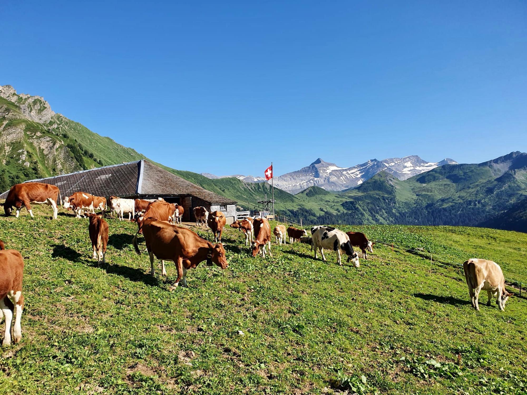
Panoramic high-level path past Berghaus Eggli and the Wilde Bode limestone karren area to the language border at Col de Jable. Many traditional alp huts with large shingle roofs and cheesemaking in copper cauldrons high above Etivaz.
Difficulty
nearbynearbynearbynearbynearby
Best season
sunny
Summer
parkFall
Highest point
arrow_upward1951 metres
Start
location_onGstaad
Lowest point
arrow_downward1037 metres
Arrival
location_onL'Etivaz
Route Information
Start - Via Alpina : stage n°17

Arrival - Via Alpina : stage n°17
Description
After the ascent to hinders Eggli, we leave Saanen-Gstaad behind and follow the delightful path across the Muttehubel to Wilde Bode. The trails become ever narrower on the constant climb through meadows and pastures. Behind us stands the Gummfluh, 2,458 metres high and the emblem of the Saanenlan...
Practical information
ACCESS
You can take the MOB train from Montreux/Zweisimmen to Gstaad.
From l'Etivaz, take the TPC line to Château-d'Œx or Col de Mosses.
Useful information and contact
Coming to Pays-d'Enhaut
Brochures and maps
- location_on
Pays-d'Enhaut Région Économie et Tourisme
Chemin des Ballons 2
1660 Château-d'Œx
- phone_in_talk
+41 26 924 25 25
- mail
info@pays-denhaut.ch

Facebook

Instagram

