
arrow_backBack
On foot
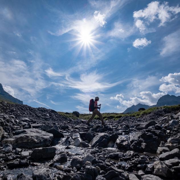
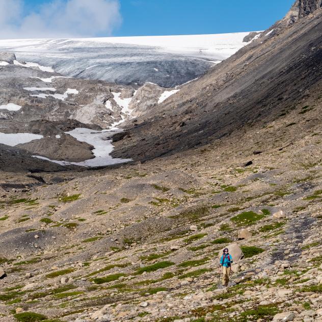
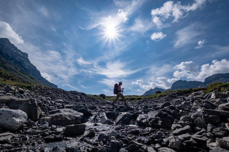
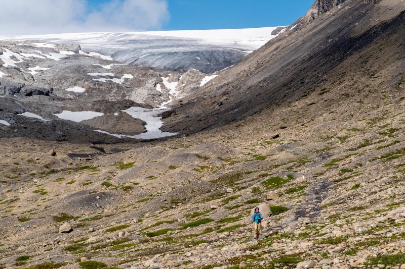
Tour of the Diablerets massif
landscape Difficult
route 54.8 kilometers
schedule 20:00 h
trending_up 3255 metres
trending_down 3249 metres
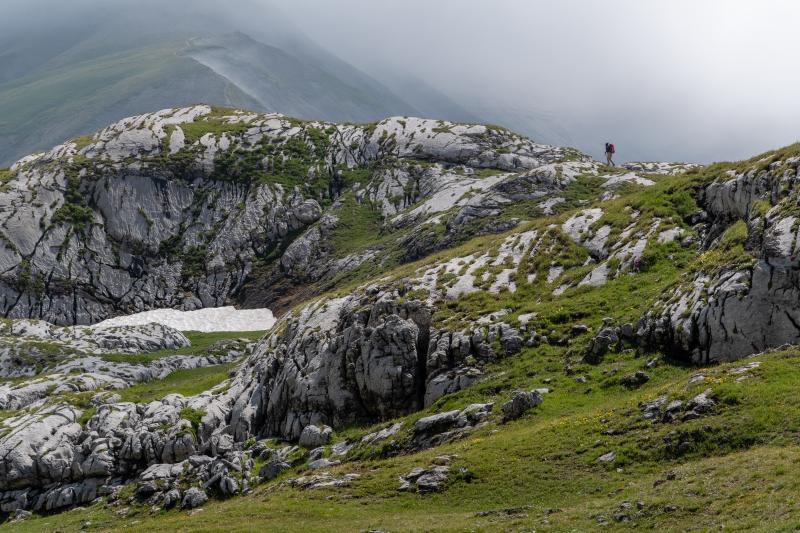
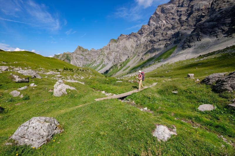
4 days of trekking around the Diablerets massif via Les Diablerets, Col de la Croix, Les Chaux, Solalex, Anzeinde, Pas de Cheville, Derborence, Col du Sanetsch, Sanetsch See, Gsteig, Col du Pillon, Les Diablerets.
Difficulty
nearbynearbynearbynearbynearby
Best season
sunny
Summer
Highest point
arrow_upward2553 metres
Lowest point
arrow_downward1160 metres
Route Information
Start - Tour of the Diablerets massif

Arrival - Tour of the Diablerets massif
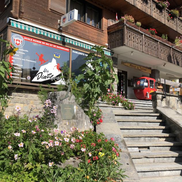
Les Diablerets Tourist Office
Let us guide you during your stay in Les Diablerets
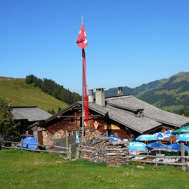
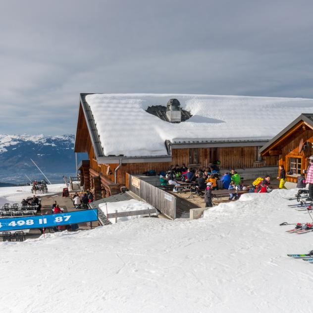
Le Refuge de Taveyanne
Located in the commune of Gryon, the Refuge de Taveyanne is an authentic restaurant, offering local cuisine in a unique setting.
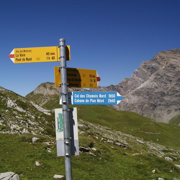
Géotope du Chablais - Anzeinde
Anzeinde is located South of the Diablerets massif, between Villars, Gryon and Derborence, in the Alpes vaudoises.
Chez Gipsy
Chez Gipsy, a large terrace facing the Alps in Gryon, is the perfect place to stop during a day in the open air.
Description
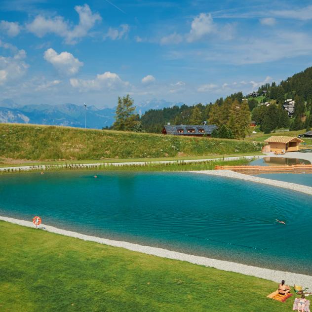
3 cantons, breath-taking landscapes, 3,000 metres of positive gradients and around 20 hours of walking, 53 km of discovery for 4 to 5 days of happiness! Come and enjoy a unique experience in our beautiful region!
The first stage starts at Les Diablerets, a charming mountain village with ty...
Practical information
Along the route
Les Diablerets Tourist Office
Let us guide you during your stay in Les Diablerets
Le Refuge de Taveyanne
Located in the commune of Gryon, the Refuge de Taveyanne is an authentic restaurant, offering local cuisine in a unique setting.
Géotope du Chablais - Anzeinde
Anzeinde is located South of the Diablerets massif, between Villars, Gryon and Derborence, in the Alpes vaudoises.
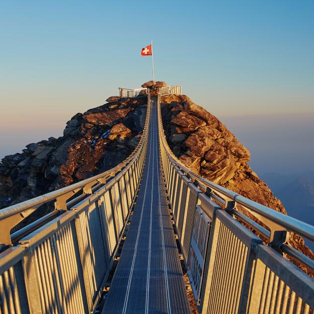
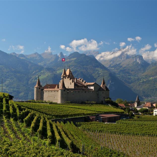
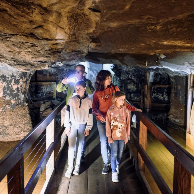
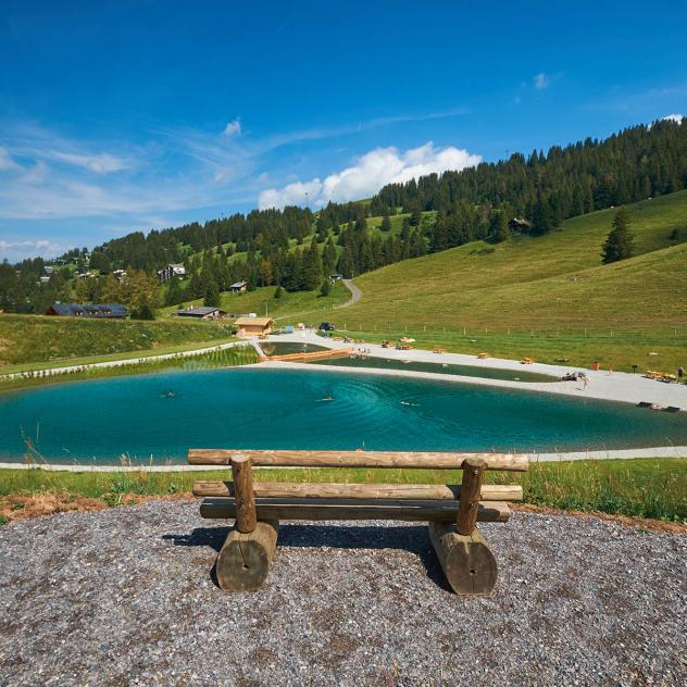
Tour of the Diablerets massif Pictures

Useful information and contact
Getting to Gryon
Parking and transport
Brochures and maps
Practical information
- location_on
Maison du Tourisme de Gryon
Place Barboleuse 11
1882 Gryon
- phone_in_talk
+41 24 498 00 00
- mail
information@gryon-tourisme.ch

Facebook

Instagram

