arrow_backBack
On foot
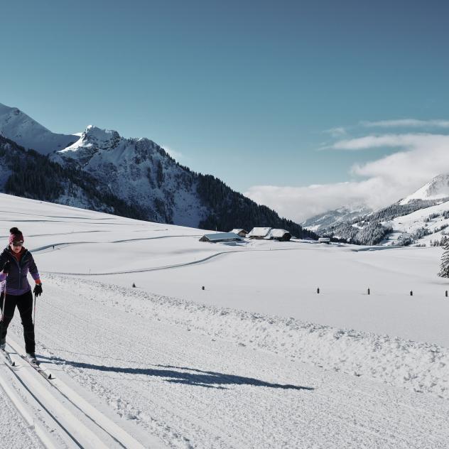
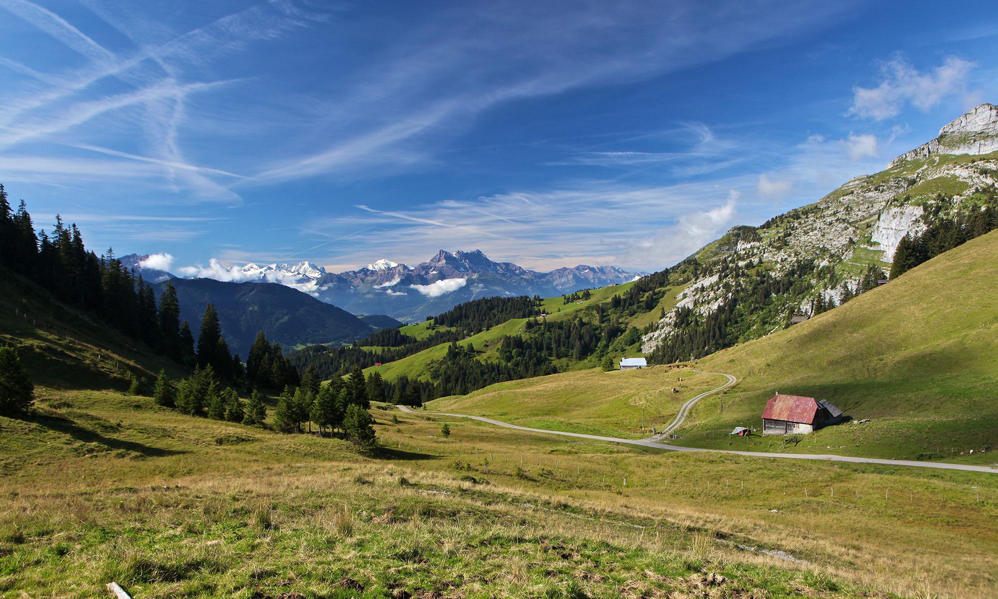
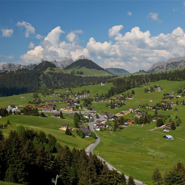
Tour du Mont d'Or
landscape Medium
route 16.95 kilometers
schedule 05:20 h
trending_up 770 metres
trending_down 770 metres
Walk around the Mont d'Or along the Chamois trail: you'll cover some distance without too much change in altitude, an ideal walk to contemplate the fauna and flora in a wild environment.
Difficulty
nearbynearbynearbynearbynearby
Best season
sunny
Summer
Highest point
arrow_upward1740 metres
Lowest point
arrow_downward1349 metres
Route Information
Start - Tour du Mont d'Or

Arrival - Tour du Mont d'Or
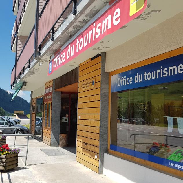
Les Mosses - La Lécherette Tourist Office
Tourist information and postal agency service.
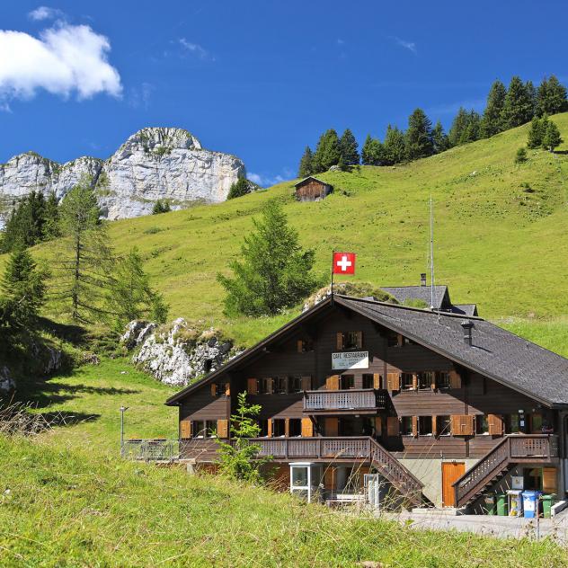
Pierre du Moellé Restaurant
Above Le Sépey, on foot, by bike or by car, everyone meets at the Pierre du Moëllé restaurant for a meal.
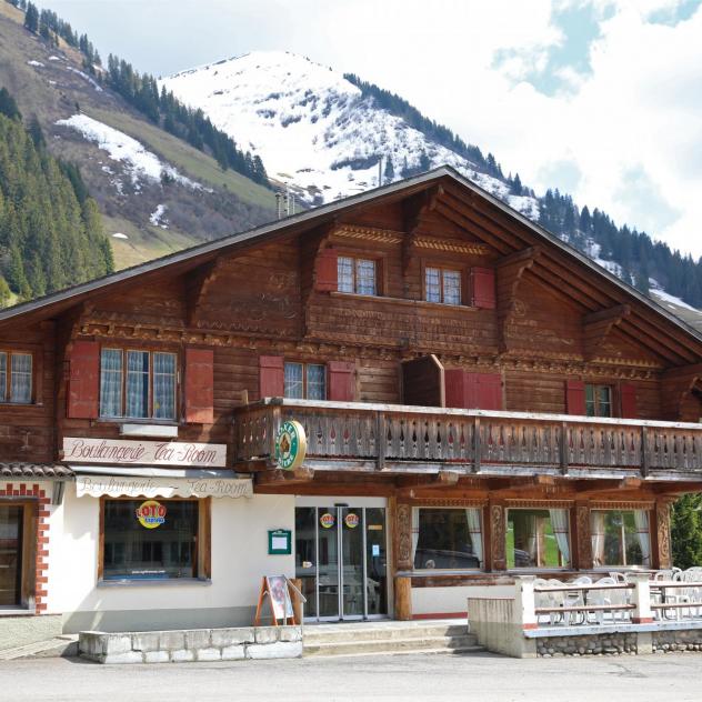
"Tea-room Soon" bakery
Looking for a gourmet break or simply a dish of the day? Tea-Room Soon is sure to satisfy.
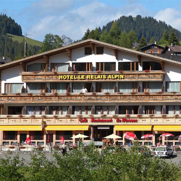
Restaurant Le Relais Alpin
The Relais Alpin's restaurant offers a menu with many typical and traditional dishes.
hotelHotel
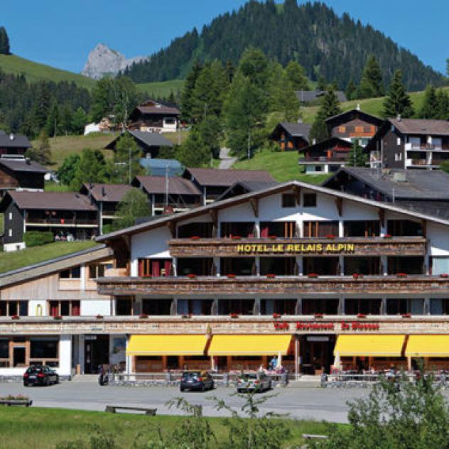
Hôtel Le Relais Alpin
starstarstarThe Hotel Le Relais Alpin ist situated in the middle of the Vaud Alps at Col des Mosses at 1450 meters.
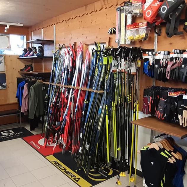
Hefti Sports Les Mosses
A shop for the hire or purchase of winter sports equipment at the Col des Mosses near the ski lifts.
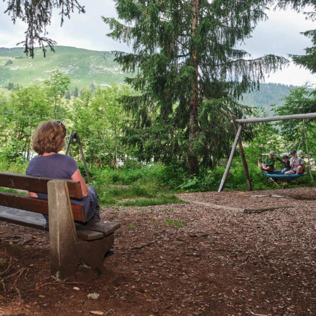
Les Mosses Playground
Running and sliding. Everything is done so that children can let off steam under the watchful eye of their parents in the shade of the trees.
Camping La Toundra
The Toundra campsite in Les Mosses welcomes you all year round for a stay in the great outdoors.
Description
The departure is located at the corner of the Tourist Office building in the centre of Les Mosses. At this point, follow the cantonal road (direction La Comballaz) and pass in front of the hotel des Fontaines. After the hotel, turn right on the road that goes up. Follow this road, which is not ve...
Along the route
Les Mosses - La Lécherette Tourist Office
Tourist information and postal agency service.
Pierre du Moellé Restaurant
Above Le Sépey, on foot, by bike or by car, everyone meets at the Pierre du Moëllé restaurant for a meal.
"Tea-room Soon" bakery
Looking for a gourmet break or simply a dish of the day? Tea-Room Soon is sure to satisfy.
Useful information and contact
Coming to Col des Mosses
On-site parking and transport
Brochures and maps
Practical information
- location_on
Office du Tourisme Les Mosses - La Lécherette
Route du Col des Mosses 106
1862 Les Mosses
- phone_in_talk
+41 24 491 14 66
- mail
info@lesmosses.ch

Facebook

Instagram

