
arrow_backBack
On foot
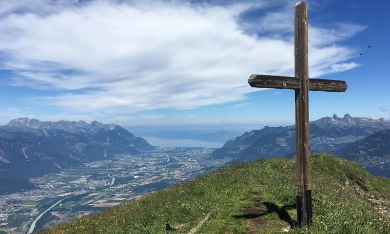
Javerne - La Tourche - Javerne
landscape Medium
route 6.65 kilometers
schedule 03:00 h
trending_up 596 metres
trending_down 595 metres
A challenging hike from the Javerne mountain pasture to the Tourche hut in the Plans-sur-Bex area.
Difficulty
nearbynearbynearbynearbynearby
Best season
sunny
Summer
Highest point
arrow_upward2192 metres
Lowest point
arrow_downward1626 metres
Route Information
Start - Javerne - La Tourche - Javerne

Arrival - Javerne - La Tourche - Javerne
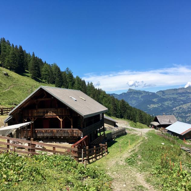
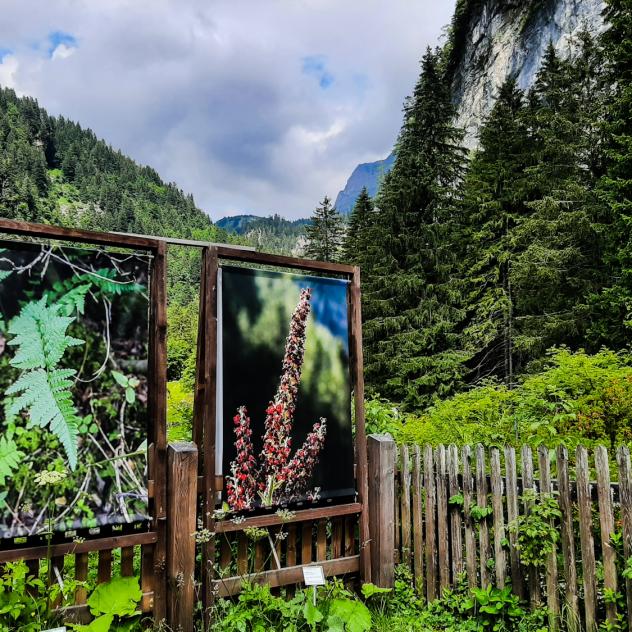
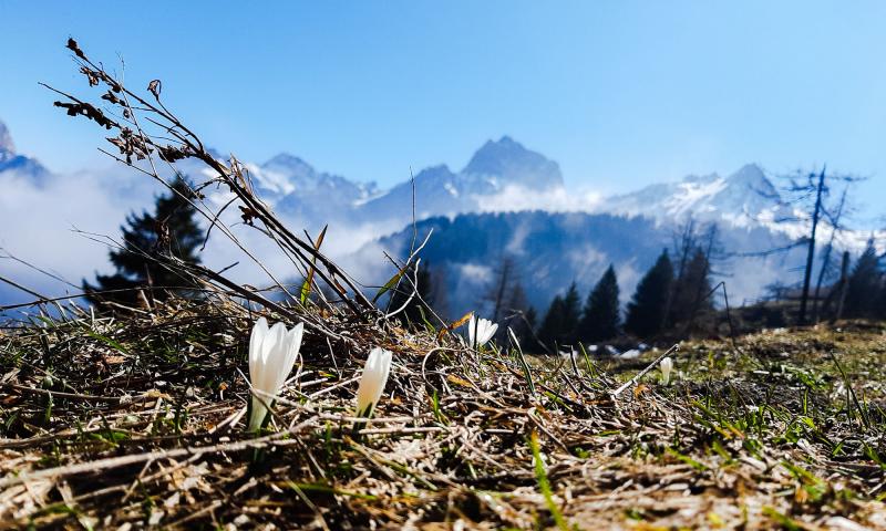
Alp Javerne
Alp Javerne is located beneath the Croix de Javerne, where cows and goats graze during summer.
Description
This walk starts just before a no-trespassing sign on the Javerne road. There is a car park on your left.
After a few hundred meters on the road, you reach the Javerne chalets. Follow the signs for the Javerne cross and the Tourche hut (white-red-white itinerary).
The next part of t...
Practical information
Along the route
Alp Javerne
Alp Javerne is located beneath the Croix de Javerne, where cows and goats graze during summer.
Documents
Javerne - La Tourche - Javerne Pictures
Useful information and contact
Getting to Bex
Car parks and transport
Brochures and maps
Practical information
- location_on
Office du Tourisme de Bex
Avenue de la Gare 68
1880 Bex
- phone_in_talk
+41 24 463 30 80
- mail
info@bex-tourisme.ch

Facebook

Instagram

