arrow_backBack
Frience (Alpe des Chaux) – Les Chaux
Timetable
landscape Medium
route 1.05 kilometers
schedule 45 min
trending_up 219 metres
trending_down 4 metres
Frience (Alpe des Chaux) – Les Chaux
Difficulty
nearbynearbynearbynearbynearby
Best season
ac_unit
Winter
Highest point
arrow_upward1772 metres
Lowest point
arrow_downward1557 metres
Route Information
Start - Frience (Alpe des Chaux) – Les Chaux

Arrival - Frience (Alpe des Chaux) – Les Chaux
Description
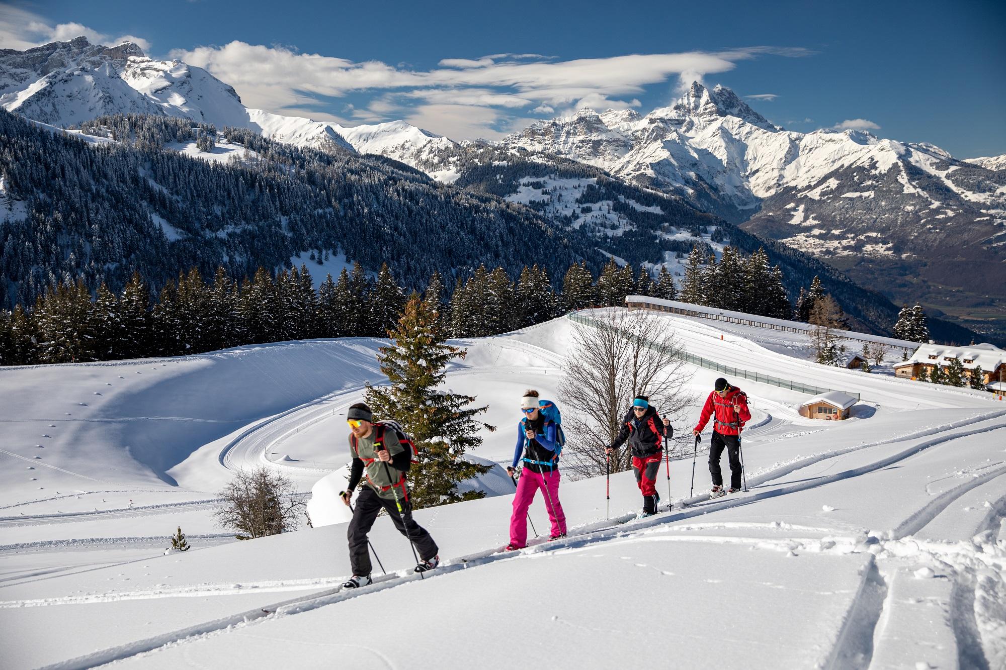
From the Frience car park, go up into the forest, then along the left of the Leurrins piste for 200m. Turn left then climb the track in the forest on the right.
Then climb up to Les Chaux to reach the Télécabine station. Descend by the Fracherets or Leurrins piste (if open).
...Practical information
Useful information and contact
Getting to Gryon
Parking and transport
Brochures and maps
Practical information
- location_on
Maison du Tourisme de Gryon
Place Barboleuse 11
1882 Gryon
- phone_in_talk
+41 24 498 00 00
- mail
information@gryon-tourisme.ch

Facebook

Instagram

