arrow_backBack
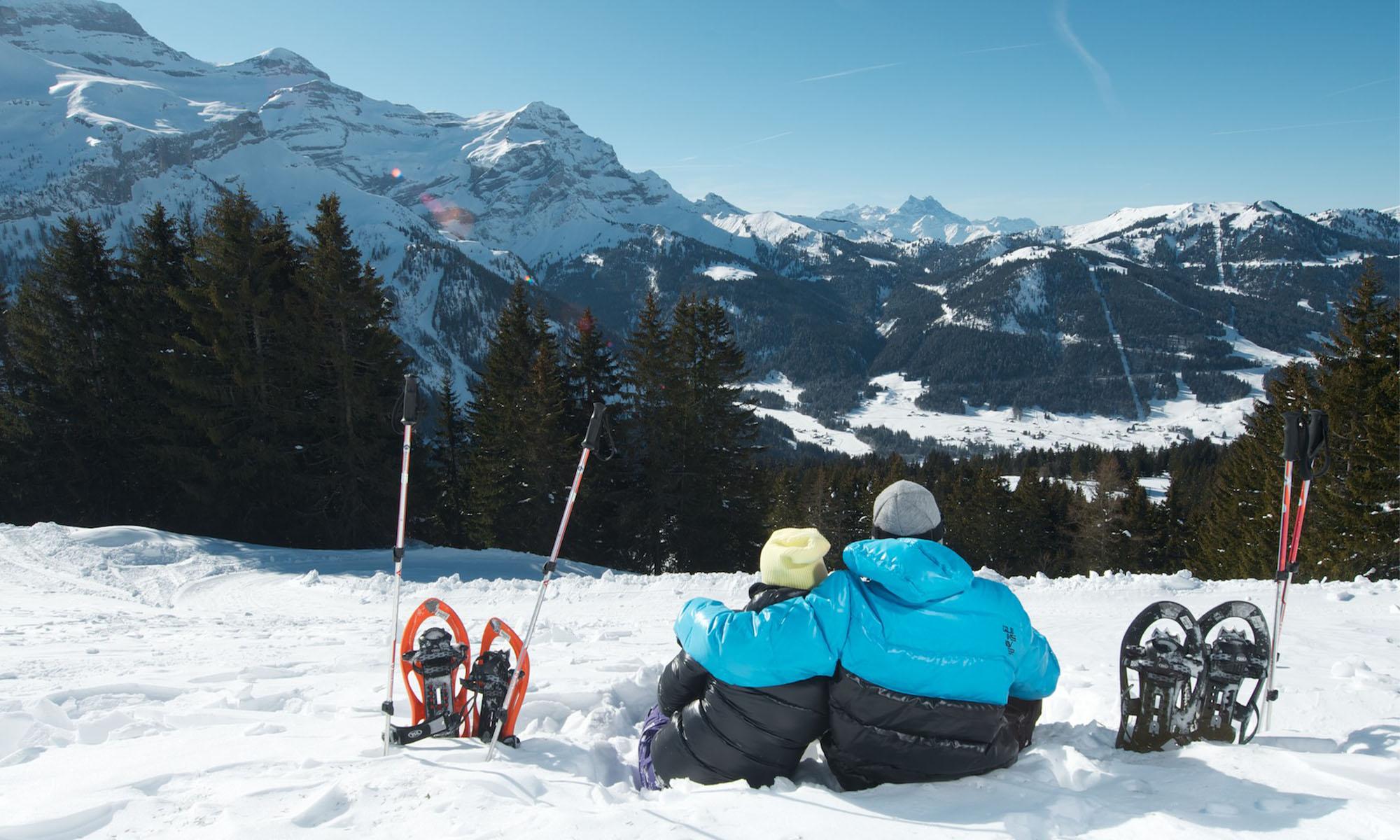
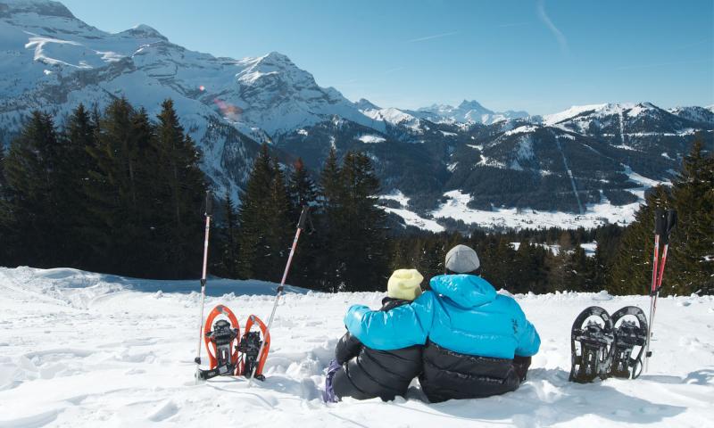
Snowshoeing
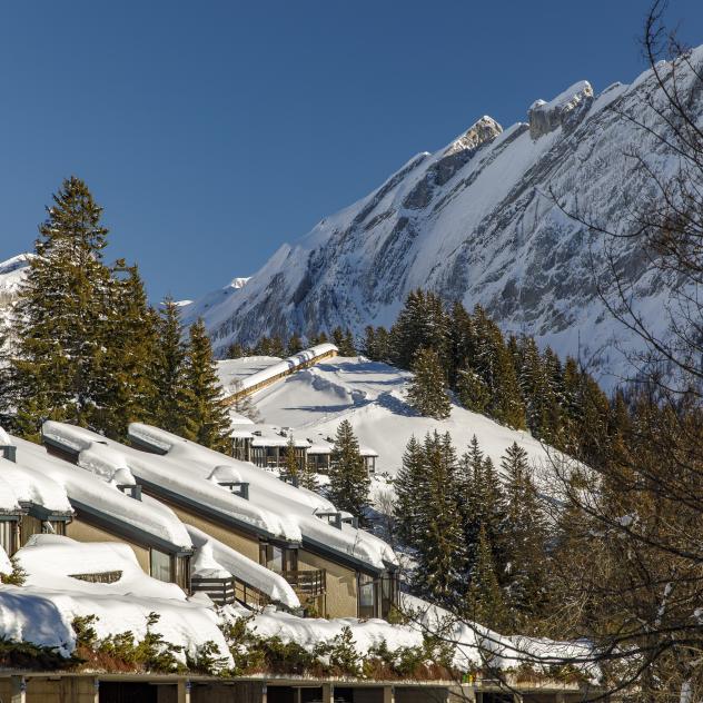
Combe du Scex (Alpe des Chaux) - Taveyanne - La Verneyre (Villars)
Timetable
landscape Easy
route 9.6 kilometers
schedule 03:00 h
trending_up 244 metres
trending_down 463 metres
Beginner or Intermediate snowshoe trail, in the rural frame of the forest of Sodoleuvre and the high mountain pasture of Taveyanne, then a return towards Villars by Coufin and La Verneyre.
Difficulty
nearbynearbynearbynearbynearby
Best season
ac_unit
Winter
Highest point
arrow_upward1666 metres
Lowest point
arrow_downward1351 metres
Route Information
Start - Combe du Scex (Alpe des Chaux) - Taveyanne - La Verneyre (Villars)

Arrival - Combe du Scex (Alpe des Chaux) - Taveyanne - La Verneyre (Villars)
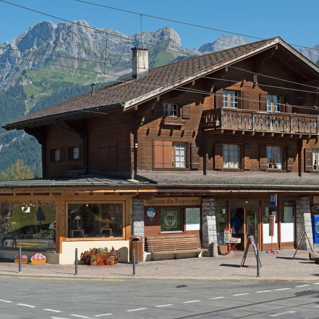
Gryon Tourist Office
The Maison du Tourisme de Gryon welcomes you, informs you and assists you during your stay.
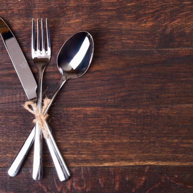
La Terrasse
The Restaurant La Terrasse overlooking place de la Barboleuse just a few minutes from Villars and Gryon.
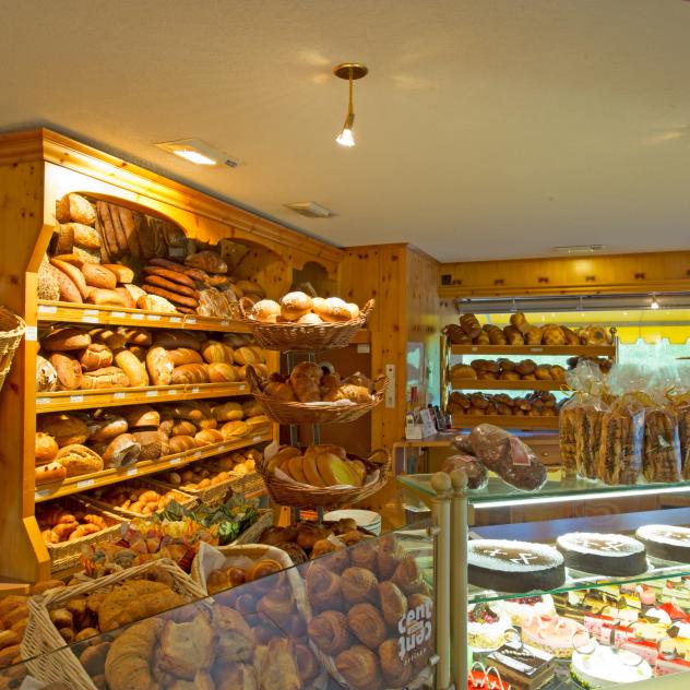
Charlet-Ançay bakery & tea-room
Charlet's tearoom is located next to the Barboleuse railway station, a few minutes from Gryon and Villars in the heart of the Alpes Vaudoises.
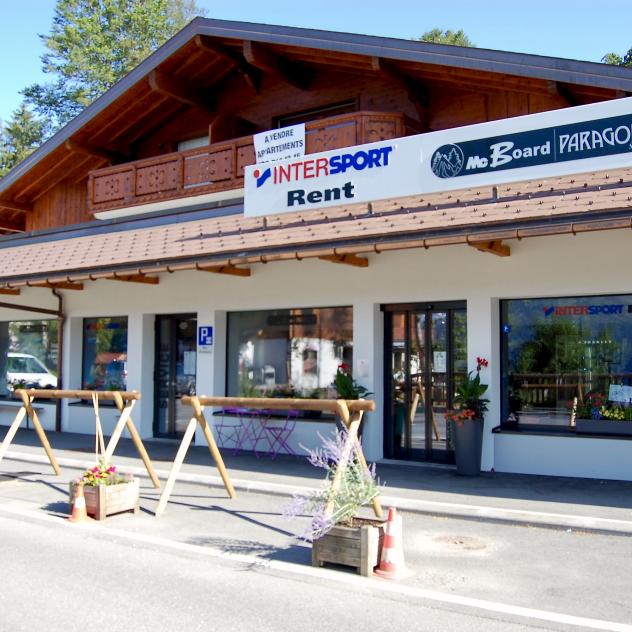
Paragon Sport
Sale and rental of skiing, snowboarding, biking, hiking, ski touring, telemarking and sledging equipment, maintenance and repair service and clothes.
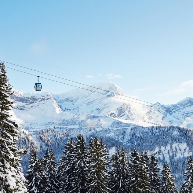
Barboleuse - Les Chaux gondola lift
The Les Chaux gondola lift takes you to the heart of the Villars-Gryon ski area, the start of some beautiful walks or maybe just an alpine terrace.
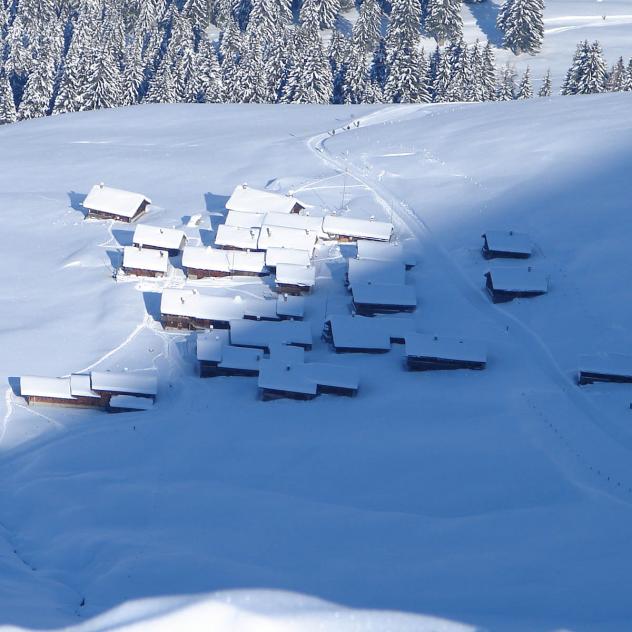
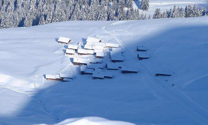
Taveyanne
The picturesque hamlet of Taveyanne, a listed historical site with timber chalets and wooden shingle roofs is well worth a visit.
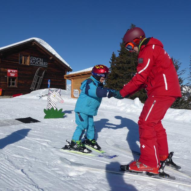
Gryon Swiss Ski School
An authentic and friendly little school that aims to share its passion for snow sports.
Chez Gipsy
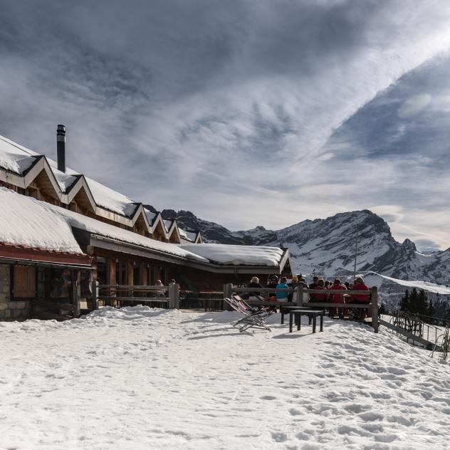
Chez Gipsy, a large terrace facing the Alps in Gryon, is the perfect place to stop during a day in the open air.
Description
From the Combe du Scex (at the end of the Alpe des Chaux road), go up 100m in the forest passage, then go down to the right and carefully cross the 4 ski runs.
Follow the forest track for about 2km, until you reach Taveyanne. Go along the bottom of the hamlet and descend to your left (towar...
Practical information
Along the route
Gryon Tourist Office
The Maison du Tourisme de Gryon welcomes you, informs you and assists you during your stay.
La Terrasse
The Restaurant La Terrasse overlooking place de la Barboleuse just a few minutes from Villars and Gryon.
Charlet-Ançay bakery & tea-room
Charlet's tearoom is located next to the Barboleuse railway station, a few minutes from Gryon and Villars in the heart of the Alpes Vaudoises.
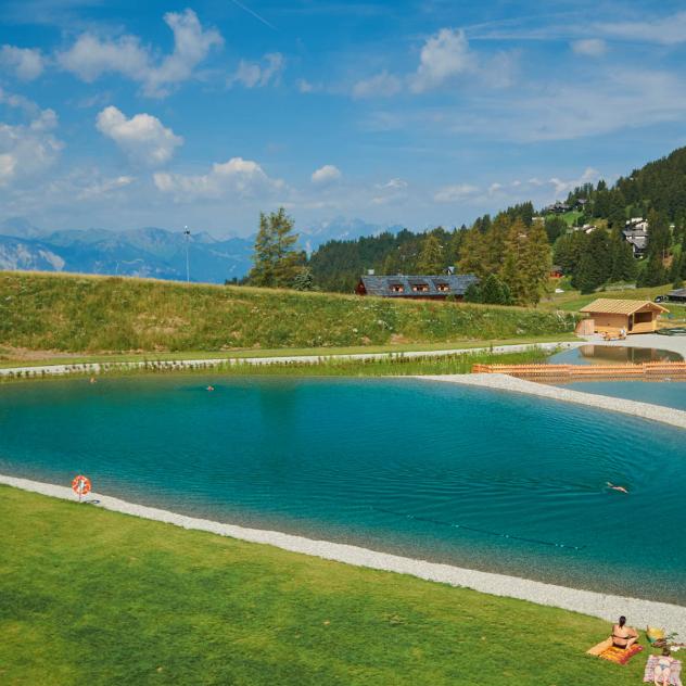
Combe du Scex (Alpe des Chaux) - Taveyanne - La Verneyre (Villars) Pictures
Useful information and contact
Getting to Gryon
Parking and transport
Brochures and maps
Practical information
- location_on
Maison du Tourisme de Gryon
Place Barboleuse 11
1882 Gryon
- phone_in_talk
+41 24 498 00 00
- mail
information@gryon-tourisme.ch

Facebook

Instagram

