
arrow_backBack
The Col de la Croix
Overview
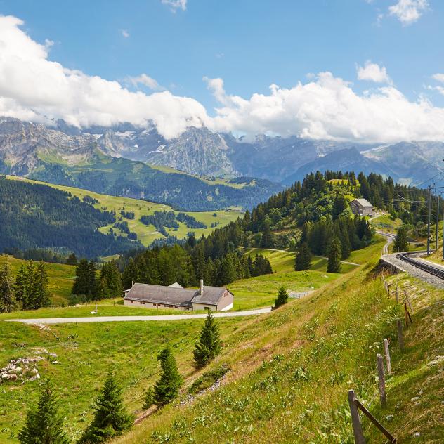
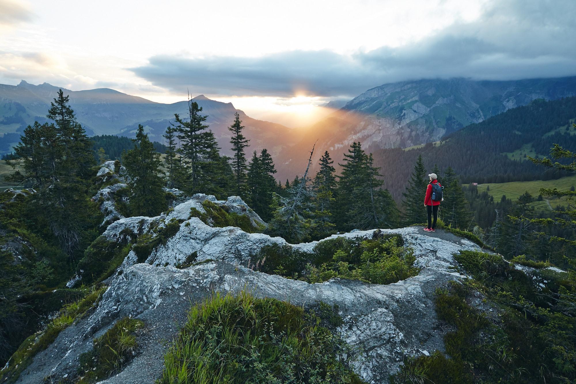
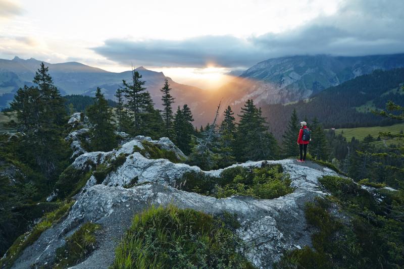
The Col de la Croix pass is the highest point of the road linking Villars to Les Diablerets and is 1,778 metres above sea level.
The Col de la Croix is one of the most important transit points for migratory birds crossing the Alps. Since 1983, every year in October it hosts a small bird banding station. Nets are set and birds are counted by birding enthusiasts. Many large raptors also enjoy the area. It’s not uncommon to see golden eagles and two pairs of bearded vultures flying above, who have taken up residence in the Diablerets massif.
From a geological point of view, the Col de la Croix is surrounded by gypsum which, by erosion, today forms gypsum pyramids that can be explored and walked through on either side of the road at the top of the pass.
On a promontory near the pass car parking, you can admire the work of Ollon sculptor Olivier Estoppey, entitled "Le passage des loups" (The Wolves’ Pass).
The origins of the Col de la Croix road
In December 1869, an initiative committee from the cantons of Vaud and Valais requested "the construction of a road over the Col de la Croix, meant to establish communication between the Ormont-Dessus valley and the Gryonne valley". The Federal Council announced that it had already ordered the collection of the necessary plans in 1863. From then on, it’s fair to think that the idea had already germinated in the 1850s. The project was somewhat delayed by the effects of the War of 1870-71. Two parallel starting points were planned: one from Gryon, the other from Chesières or from Arveyes.
The fear of weakening this strategic axis, and the two world wars would further delay the progress of this project. It was seriously resumed thanks to the persistence of Louis Anex, secretary-cashier of the Syndicat des Améliorations foncières (Land Improvement Union) and Georges Nicollier, engineer, author of the project and father of the Swiss astronaut Claude Nicollier.
The works lasted five years for the 8 kilometres of the sector of Ollon and three years for the 4.8 km of Ormont-Dessus.
For a project that was originally a national road, then a cantonal road, today, the municipalities of Ollon and Ormont-Dessus now bear the maintenance costs alone.
Practical information
Location
The Col de la Croix Pictures
Nearby
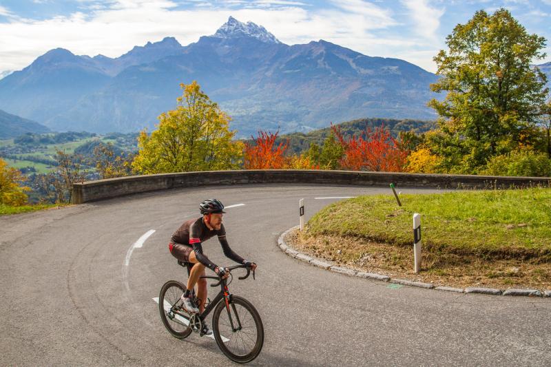
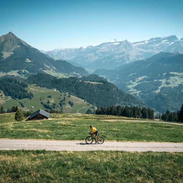
directions_bikeGravel bike
The col de la Croix gravel route
route 48.5 km
schedule 04:10 h
trending_up 1704 m
trending_down 1704 m
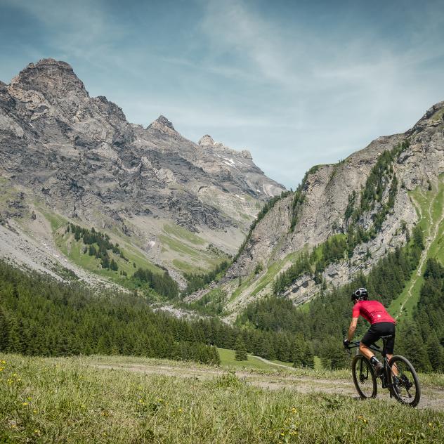
directions_bikeGravel bike
The Grand Tour on gravel
route 89 km
schedule 07:00 h
trending_up 3504 m
trending_down 3499 m
Getting to Villars
On-site parking and transport
Brochures and maps
- location_on
Office du Tourisme de Villars
Avenue Centrale 140 CP 100
1884 Villars-sur-Ollon
- phone_in_talk
+41 24 495 32 32
- mail
info@villars.ch

Facebook

Instagram

