
arrow_backBack
Ski touring on Le Tarent
Overview
The ski tour to the highest peak of the Vaud Alps is one of the most popular ones. The mountain range separates Ormont-Dessus in the south (Les Diablerets) from Pays-d'Enhaut in the north (l'Etivaz). The tour starts in l'Etivaz and the ascent and descent are exclusively on the north slope, so ski tourers can look forward to powder snow.
This summit is the highest point in the Vaud Alps. Its ski touring route is one of the most popular in the canton of Vaud.
The ascent and descent can only be made on the north-facing slope. The start is accessible from the village of l'Etivaz.
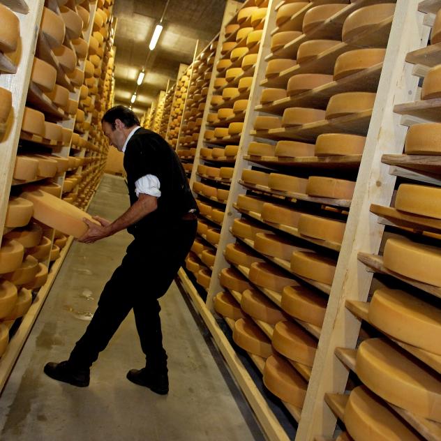
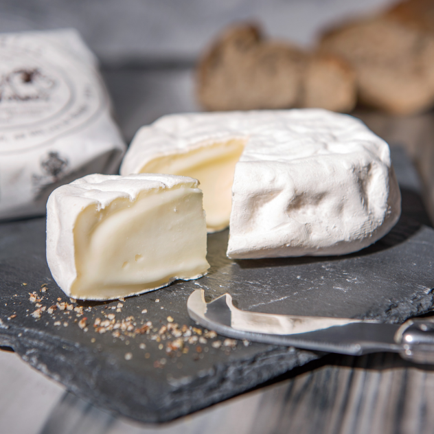
The hike begins in the village of l'Etivaz, capital of the L'Etivaz AOP alpine cheese.
Start the hike with a gentle warm-up in the Eau Froide valley to the place called "Les Maulatreys". With only 200 metres of difference in altitude, this is an opportunity to chat with your fellow hikers.
Then the slope rises in front of you, go up to the combe Nord du Tarent (500 metres difference in height). Regain your strength with a hot drink before starting the final ascent of the combe du Tarent, which has a difference in altitude of around 700 metres. Return to the route with a false flat. Finish the climb with a steep and technical section that is often done without skis.
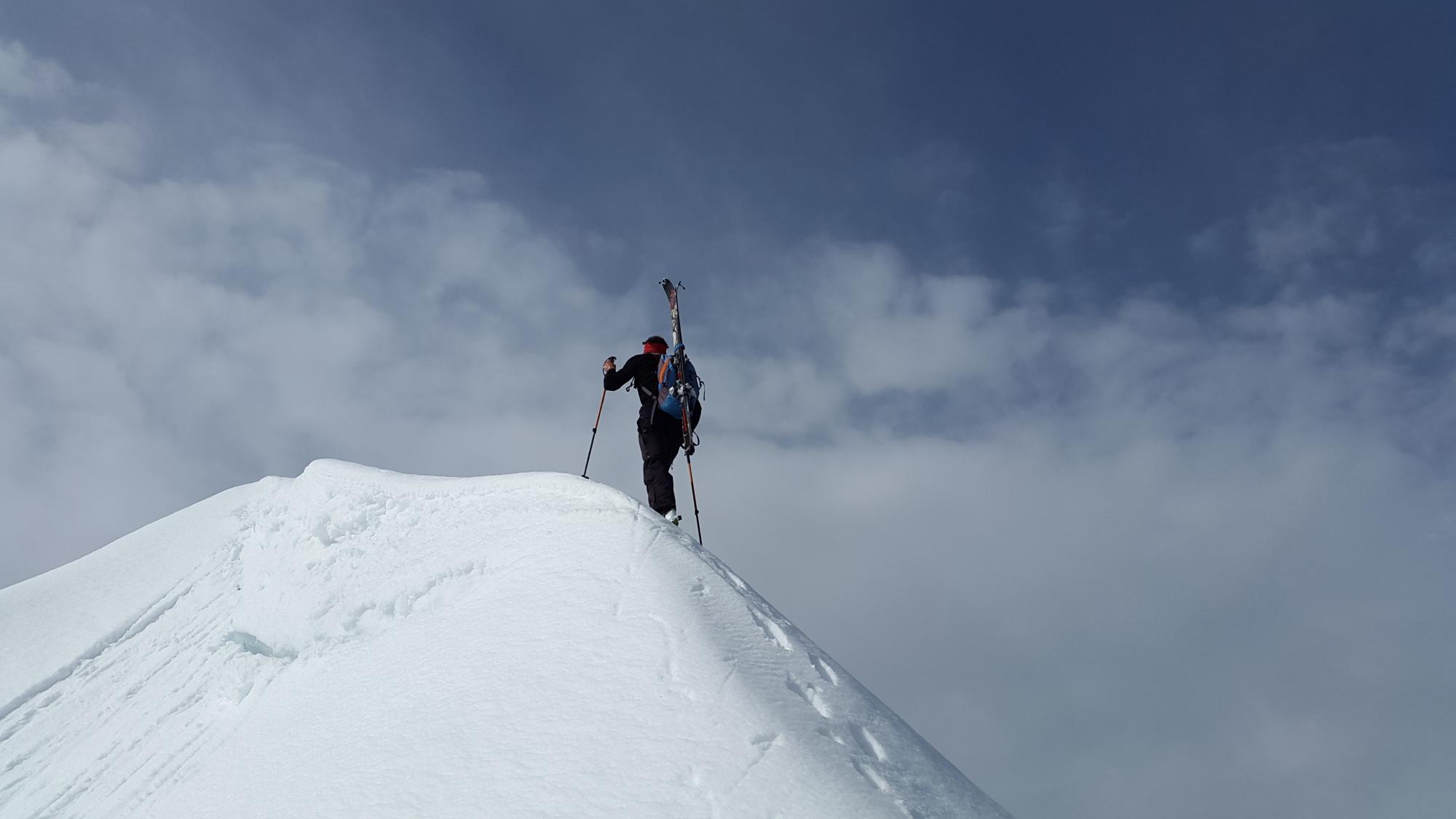
At the top, you will be rewarded for your efforts by an incredible view of the Alps, the plateau and Mont Blanc. All that remains is to remove the skins and finish the route with a moment of pure pleasure: a long descent ! This is done by the same route as the ascent.
Schedules
| Mon | Tue | Wed | Thu | Fri | Sat | Sun |
|---|---|---|---|---|---|---|
29 | 30 | 1 | 2 | 3 | 4 | 5 |
6 | 7 | 8 | 9 | 10 | 11 | 12 |
13 | 14 | 15 | 16 | 17 | 18 | 19 |
20 | 21 | 22 | 23 | 24 | 25 | 26 |
27 | 28 | 29 | 30 | 31 | 1 | 2 |
Weekly timetable
From 20 to 26 October 2025
Monday
Closed
Tuesday
Closed
Wednesday
Closed
Thursday
Closed
Friday
Closed
Saturday
Closed
Sunday
Closed
Practical information
Location
Infiniment plus Adventure
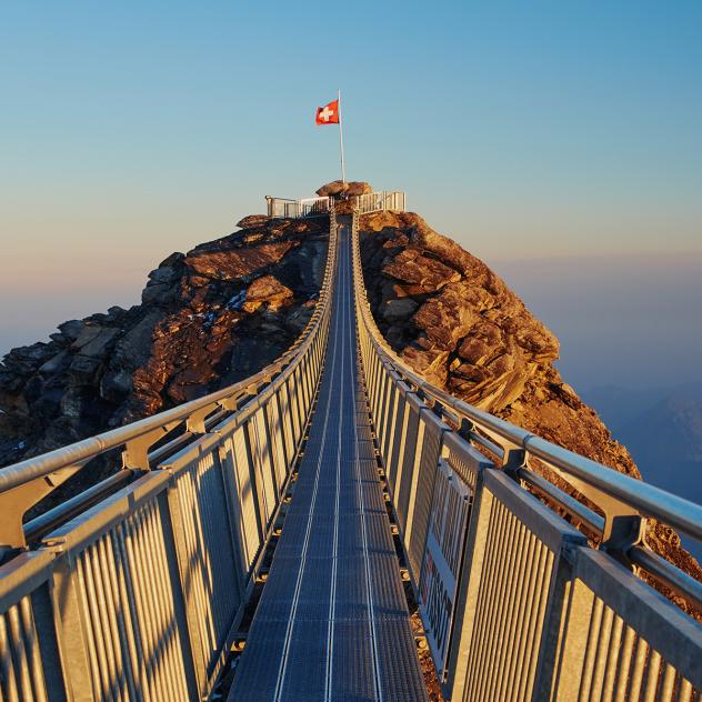
Peak Walk by Tissot - Glacier 3000
Enjoy a unique experience at Glacier 3000; cross the Peak Walk by Tissot, the only suspension bridge in the world that links two peaks.
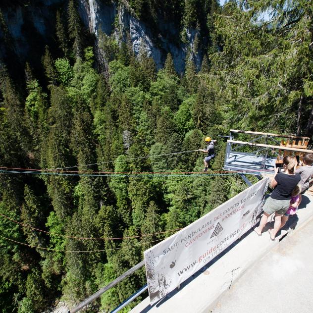
Swinging jump
Securely secured, jump and feel the adrenaline of this giant swing located at more than 100 meters high in the heart of the Pissot gorges!
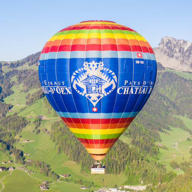
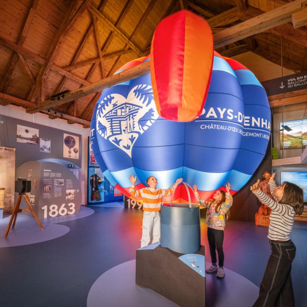
Hot air balloon flight
Board your hot air balloon, take off and enjoy a 360-degree view of the Pays-d'Enhaut from the sky.
Coming to Pays-d'Enhaut
Brochures and maps
- location_on
Pays-d'Enhaut Région Économie et Tourisme
Chemin des Ballons 2
1660 Château-d'Œx
- phone_in_talk
+41 26 924 25 25
- mail
info@pays-denhaut.ch

Facebook

Instagram

